Site access
The vehicular access strategy for the outline application will be to provide three points of access to the site from Western Road. The western parcel will be served by a single point of access leading to a primary no through road with a series of lower-class streets leading from it. The larger eastern parcel will be served by two points of access with a loop road connecting the two accesses.
The primary pedestrian and cycle access will connect the two sites along their northern boundaries near to Western Road. This will include a crossing point of Western Road (form to be agreed) near to the junction with Amphlett Close. This will enable pedestrians and cyclists to use the footways and carriageways of Amphlett Close and Waldron Mews to access the facilities on Kidderminster Road via Dyas Close, Jade Drive and Bennett Drive.
Sustainable travel
Development to the north of the site has provided improved pedestrian and cycle connectivity. Opportunities exist to provide additional footway measures along Western Road which connect to Amphlett Close, aiding movement to the A456 and connecting to existing provision along Western Road and Newfield Road.
The nearest bus stops to the site are located on Worcester Road. These are approximately 1km from the site but provide access to the regular 192 bus service which provides hourly daytime services to Kidderminster and Halesowen where connecting services to the other destinations are available. The 318 service from Station Road, approximately 1.5km away, provides a regular daytime service to Stourbridge.
The development will explore opportunities to provide additional services close to the site and this could include a small local service connecting to key facilities across Hagley. Any new service would be supported by a 20-year business plan as per the requirements of Worcestershire County Council.
Access junctions and wider network
Taylor Wimpey’s Transport Consultant is undertaking a pre-application consultation with Worcestershire County Council Highways to discuss and agree the approach to access and transport matters more generally. This will further include the study area for capacity assessments and safety reviews.
A comprehensive Transport Assessment and Framework Travel Plan will be prepared to form part of the outline planning submission. This assessment will include a review of baseline conditions including traffic surveys of the surrounding road network. Junction and link assessments will be undertaken using these surveys and a forecast for future network growth, which includes committed and allocated sites. Should potential mitigation measures be required, they may be in the form of road improvements and/or further sustainable travel measures to reduce the need to travel by car. The proposed development would provide funding towards the delivery of any such mitigations.
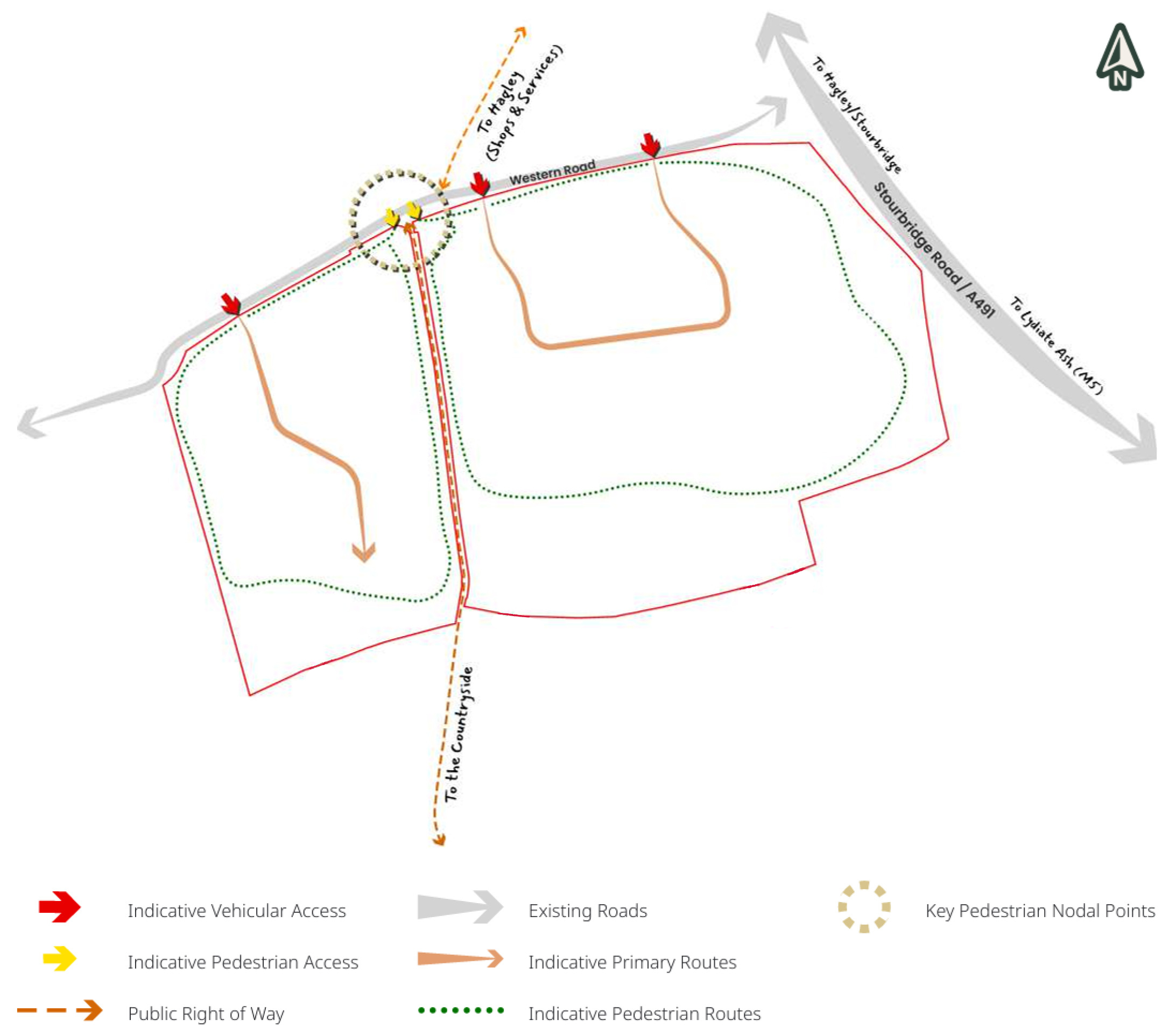
Access and movement plan. Click to enlarge.
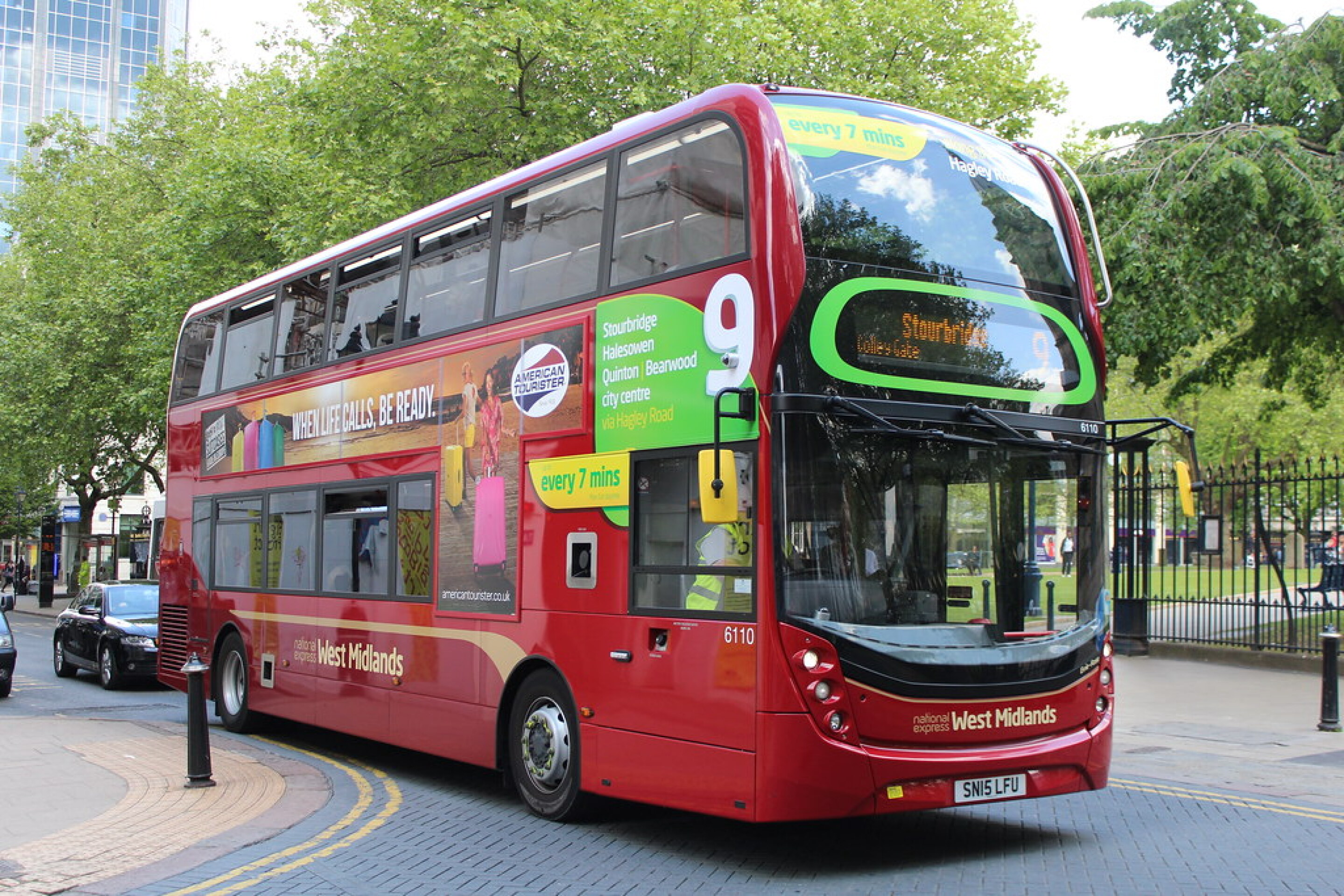
Opportunities to enhance local bus services are being explored.

Active travel will be at the forefront of movement proposals for the development.